Precision Agriculture Drone Mapping and Analytics Services
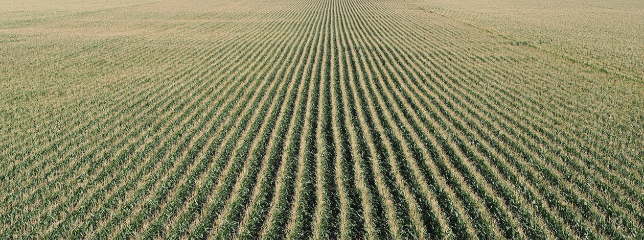
VectraFly delivers advanced agricultural drone services that help farmers, agronomists, and landowners optimize crop performance and resource management. Using state of the art RGB, multispectral, and radiometric thermal sensors, we capture high resolution data revealing soil health, crop stress, irrigation efficiency, and early signs of pests or disease. Through NDVI and thermal analytics, we generate real-time crop health reports that pinpoint issues before yield is affected. Our drone monitoring reduces manual scouting time, enhances accuracy, and supports faster decisions throughout the growing season. We produce 3D terrain models and orthomosaic maps for planting design, drainage, and fertilizer planning. Whether you manage vineyards, row crops, or broad-acre operations, VectraFly delivers actionable data that boosts productivity and sustainability.


